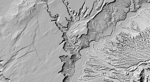


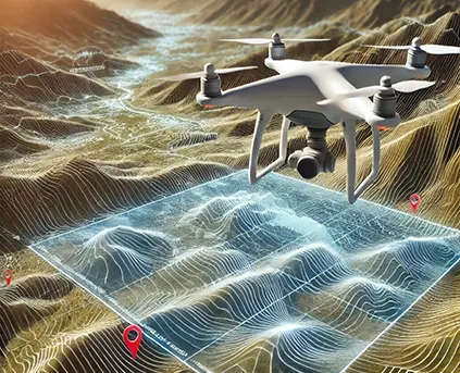
DEM / DTM /DSM
Digital Terrain Modeling is collection of mass points of elevations and 3D break lines at each change of terrain. DTM is a DEM in which terrain data has been enhanced with break lines, creating accuracy as it contains additional information defining terrain in areas where Lidar data alone is unable to do the job effectively.
Learn more

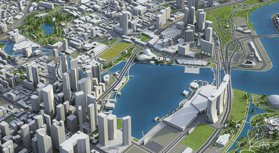
3D Topographical Map
3D Planimetric/Topographic mapping mainly represents the earth surface features in 3D manner using Contour Line, Point/Symbol and Polygon/region data. With this 3D Vector data user can make different analysis and decisions based on their specific need and applications.
Learn more
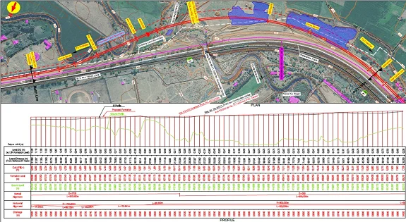
Orthophoto
Digital Orthophoto is a raster image generated by differentially rectifying aerial photographs or satellite images to compensate for distortions due to the altitude of the aircraft and the relief of the terrain. Digital Ortho photos combine the image characteristics of a photograph with geometric qualities of a map.
Learn more

Have Any Questions?
+91-7531007100