Railways and Metro
We are a Geo-spatial & Engineering consultancy organisation specializes in using “Modern Survey Technologies” for Pre-feasibility, Feasibility, DPR/FLS, Design, Construction Monitoring, Asset Mapping & Inspection for Railways and Metro Projects.
Technology
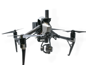
DGPS Integrated Drone
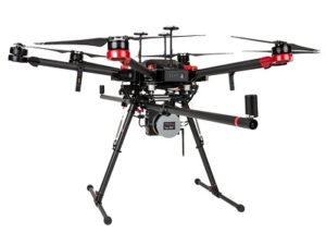
LiDAR Survey
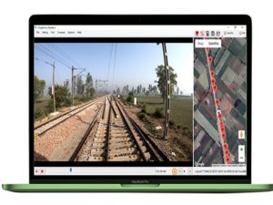
Rail Insighter
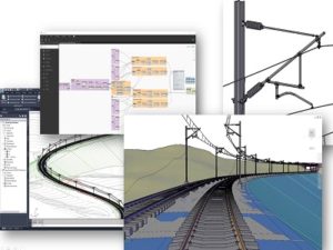
Engineering Design
Services
Planning Stage
- Reconnaissance Survey \ Feasibility studies \ FLS \ ROB-RUB Planning
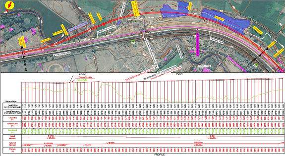
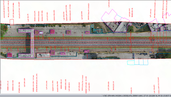
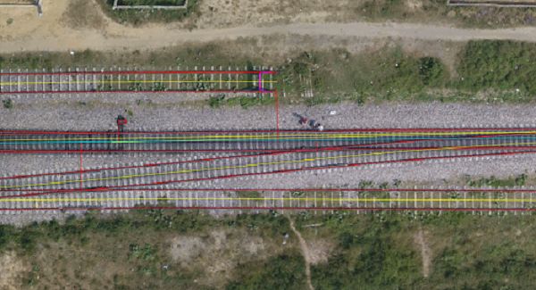
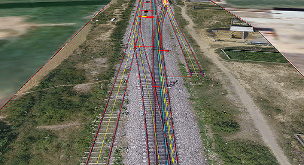
- Topographical Survey for Alignment Study and Quantities Estimation using Satellite/Drone/Lidar
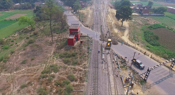
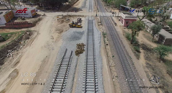
- Aerial / Track level GeoVideo for Site Reece
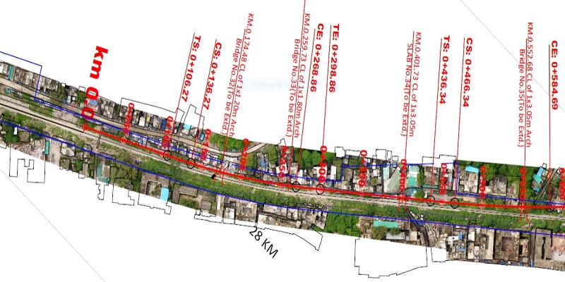
- Scaled & Georeferenced as Built Drawing Preparation
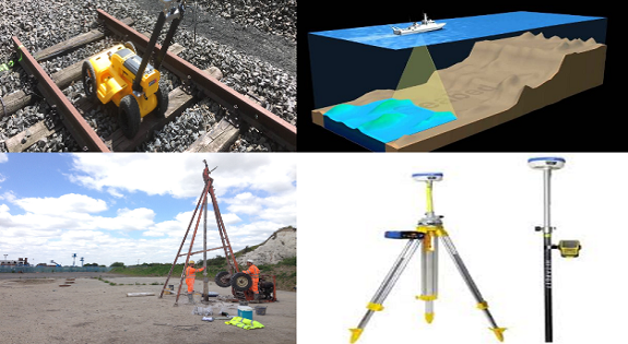
- Establishing Ground Control Network using Dgps/Total Station / Digital Auto Level
- Geotechnical Investigation, Bath Matric Study of Rivers, Water Bodies etc., GPR Survey for Underground Utilities
- Route Options & Alignment Studies, Detailed Plan, GAD Plan for Bridges, Preparation of Index Plan, Yard Plans, ESPs, Earthwork Calculations etc.
Construction – Civil
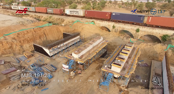
- Project Progress Monitoring using Geo-Video
- Earthwalk / Quantity Estimation
- 3D Project Progress Monitoring & Dashboard
- 4D/ 5D BIM Model project Management
Construction – OHE Survey And Design
- Layout Plan (LoP), CSD, SED are prepared as per standard RDSO guidelines.
- Scaled and Geo-referenced as-built drawing preparation
- Replaces foot-by-foot survey
- Soil profile preparation
Open Line
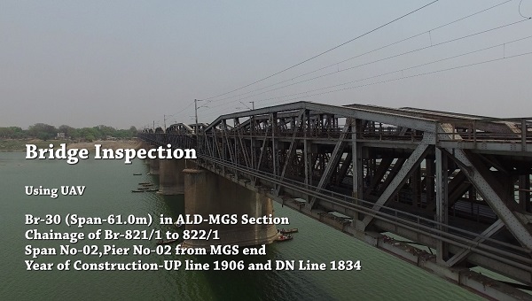
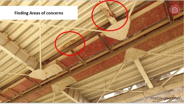
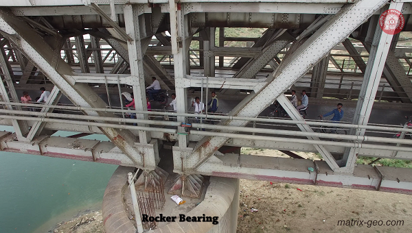
- Drone based bridge inspection & reporting
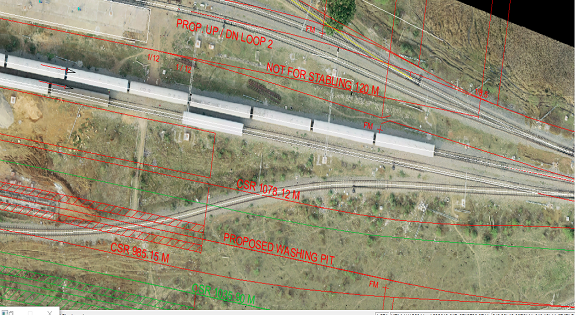
- Updated scaled ESP preparation of yards
- As-built drawing preparations
- Drainage planning in yards (Water Audits)
- GIS survey of on-track/off-track railway assets
- Inspection of railway track using Geo-video & Rail Insighter
Bridge Inspection Using Drones
- High resolution video of complete bridge including all structures like Foundation, Piers, Abutments, Girders, Bearings etc.
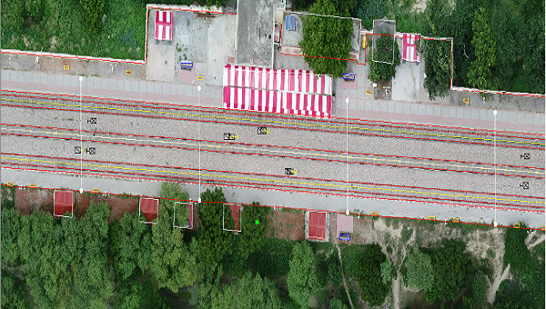
- Orthophoto to measure & understand bridge geometry & US/DS River banks.
- Bridge Inspection detailed report with highlighted concern areas, Defects, General health of bridge and Important Conclusions for appreciation of senior authorities
Project Highlights
Drone based aerial survey executed for approximately 1200+ Kms
LiDAR survey of 5000+ Km for various industries executed across country
Satellite based survey for 35000+ sq area & 3000+ linear Km survey
Executed Progress Monitoring services for 5000+ Km
Successfully Inspected 18 Mega Bridges for zonal railways


